

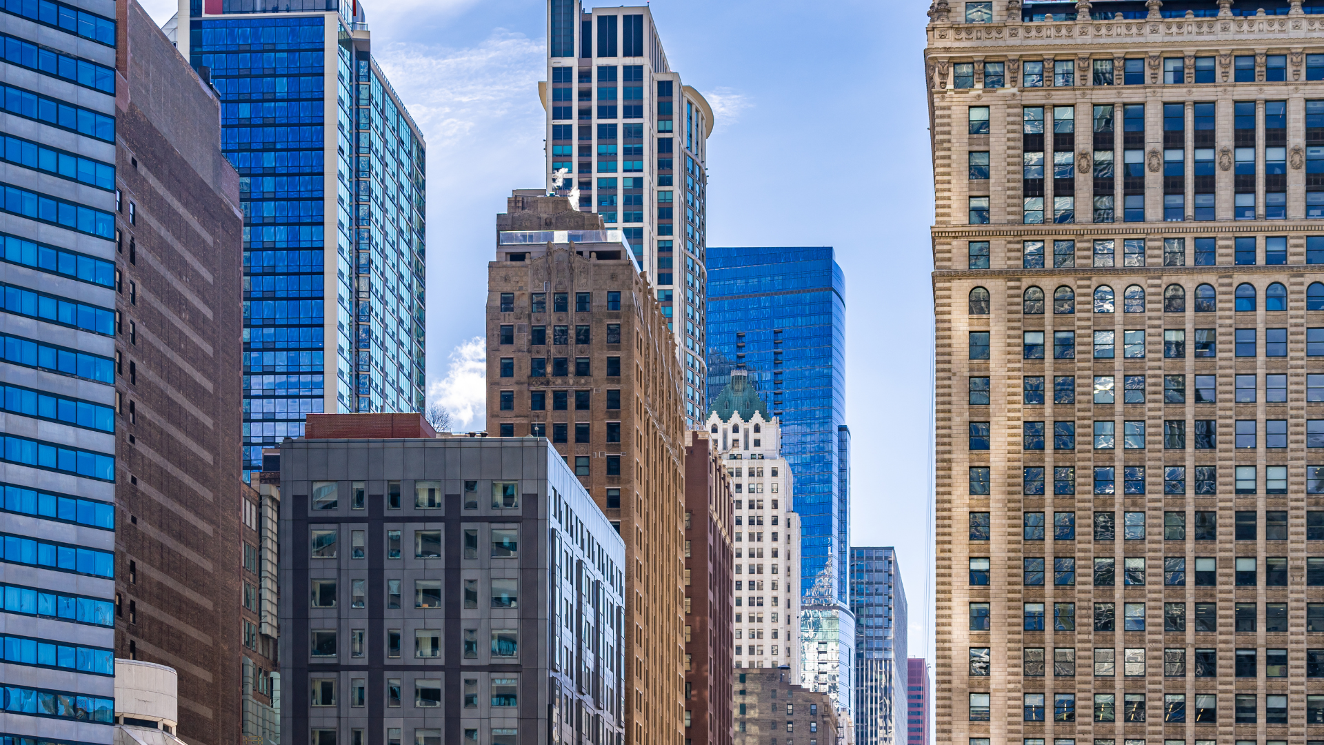
It wasn’t too long ago that the Chicago River conjured up some not-so-pretty images, particularly up-close. Trash, proximity to traffic and congestion marred the tiny promenade (a generous term) that rimmed parts of the river. In 2002, National Geographic named the Chicago River one of the ten most endangered rivers in the United States. Thanks, however, to an ambitious decades-long project by the City of Chicago, the Chicago Riverwalk has transformed how Chicagoans interact with the river that runs so prominently through many of our neighborhoods.
The Chicago Riverwalk, scheduled for completion by the end of 2016, was constructed in phases.


Phase One
Phase One stretches from Michigan Ave to Wabash, and was built in two separate contracts, by two separate contractors, according to architect Carol Ross Barney, of Ross Barney Architects, who was an instrumental force in the development of the design and vision for the Riverwalk, along with landscape architects Sasaki Associates. The completed Chicago Vietnam Veteran’s Memorial Plaza, dedicated in 2005, occupies land reclaimed by the rebuilding and relocation of Wacker Drive to create the start of the urban park. It transforms a remembrance of sacrifice into a celebration of life, commemorating the sacrifices of Illinois’ fallen soldiers while the grassy terraces and ramps lead visitors from the busy city streets to the relative quiet tranquility of the riverbank. Completed in 2009, Phase One showed that the river’s banks could act as another coastline, ripe for activation and interaction with Chicago’s citizens and visitors. The success led to a recommitment by the city to see the possibilities of a proper Riverwalk.Phase Two
Phase Two, opened to the public in June 2015, began with the commission of drawings for the section between Lake and Wabash – essentially, all the riverfront property that the City of Chicago owned. It was the first time that the architects were able to flush out a full vision for the Riverwalk; the wish list that developed included a single continuous walkway, while the many bridges inspired the creation of a series of “rooms” that could each host their own separate experiences. These “rooms” create diverse activities along the riverfront, ranging from dining and entertainment options, to event programming and amenities for watercraft. Activities, based on typical river environments, were sketched out, with a section for a jetty, a water plaza, a river theater, a cove, a marina and a boardwalk. It is these rooms that make the Riverwalk such an attractive place to spend time. That, and the attraction of popular Chicago businesses to open seasonal locations in the adjacent vendor spaces. The three rooms completed in Phase Two are the Marina, the Cove and the River Theater.The Marina
The Marina, the stretch between State and Dearborn, is designed to allow boats to dock and people to sit. Last year, City Winery was one of the first vendors to commit to open in the Riverwalk space, and it was recently announced that they are back for the 2016 season, as well. Now, boats dock there, visitors can sit, have a glass of wine and enjoy the prime riverfront space.The Cove
From Dearborn to Clark, the Cove was designed to accommodate human-powered watercraft such as canoes and kayaks. Here, the Riverwalk dips even more flush to the water and recreates a beach vibe in the heart of the city. Last year, headlines after Phase Two’s opening revolved around the heavy rains and flooding; however, architects took into account the varying river levels and designed for the inundation of water. For that reason, the beach grasses here are both functional and decorative.River Theater
The River Theater is the middle “room,” running from Clark to LaSalle. Here, inspired by other great staircases like the Spanish Steps in Rome, the architects wanted to create an effective entryway to the river. Geometrically gorgeous, the space can function as a theatre, with risers for seating mixing with risers for stairs, allowing for a steeper slope. The ramp is important, as the space is available for all citizens’ enjoyment. It is an effective, stunning connection of the city to the new Riverwalk.Phase Three
Phase Three, due to be completed this year, will signal the completion of the Riverwalk project. The final three city blocks are the Water Plaza, the Jetty and the Boardwalk.The Water Plaza
The Water Plaza, between LaSalle and Wells, began as a concept for interaction with the actual water. Ross Barney looked to gain a tactile water component with an interactive water feature. Originally dubbed the Swimming Hole (although not for actual swimming), the Water Plaza will have a zero depth water fountain that flows over the plaza, allowing for play in the mist. The fountain will provide a cooling effect in the heat of summer, but it is also designed to stay on through the winter, creating natural ice formations. Plans for year-round programming and further activation will be unveiled as the project nears completion.The Jetty
The Jetty, from Wells to Franklin, is designed for fishing, of all things – a Mayor Daley dream. At present, the Chicago River is home to over 70 kinds of fish, including carp, bluegill and bass. This space will recreate what a naturalized riverbank would be. The outermost gardens will be submergent (floating) plants, with roots dangling in the water; the next layer are emergent plants, which are actually rooted to some medium below; and the innermost layer is inundation tolerant. This layering of plant life reflects natural riverbank development, making the river less like a canal, and more of an actual river. The other reason for this design is to create natural habitats for the fish. The hope is that one of the future vendors will be a bait and tackle shop, or a shop that can fry fish caught by visitors.The Boardwalk
The Boardwalk, stretching from Franklin to Lake, is the western anchor of the Riverwalk, providing stunning views at the meeting of the river’s three branches. The Boardwalk will maximize its space with gardens, earthen mounds and a meandering footbridge to Lake Street. Also allowing access from Upper Wacker to the Riverwalk, a gently sloping ramp will accommodate both wheelchairs and strollers. The Riverwalk is an important addition to Chicago. While the total cost is expected to be around 175 million dollars, this is about a quarter of the cost of New York’s famed High Line. Initial estimates project that the Riverwalk will host about 2.8 million visitors annually, although this number is expected to grow as citizens and visitors alike discover the Riverwalk’s charms and programming continues to develop. Riverwalk vendors generated more than $4.5 million in gross revenue in 2015, four times the amount Riverwalk vendors made in 2014 prior to Phase Two’s completion. This is only the beginning of the economic benefits for the city, with projected revenue increases as phases are completed. This year, a mix of vendors including kayak and bike rentals, food and drink purveyors (including the first Riverwalk food cart), and riverboat cruises will ensure that the Riverwalk is an enjoyable space for all visitors. The other attraction? Live music. The Hideout, a Bucktown bar that hosted indie acts along the Riverwalk last summer, will not return for 2016, but Tiny Hatt, a partnership between Big Hatt Gourmet and Lincoln Square’s Tiny Lounge, will offer free live music Monday and Wednesday evenings. Finding a way to bring the river into the daily activities of the city, and furthering his goal to ensure that every citizen lives within walking distance to a park or green space, Mayor Emanuel has declared the river “Chicago’s next great recreational park,” integral to enhancing the quality of life for all its citizens. The Riverwalk is a worthy endeavor and an urban park that you shouldn’t wait to enjoy. Photo credits: Tom Nelson for the Chicago Association of REALTORS®